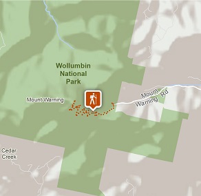
Wollumbin (Mount Warning) summit track
Wollumbin National Park
Overview
Wollumbin (Mount Warning) summit track and Aboriginal Place remains closed. Decisions about the future of the summit track will be made by the NSW National Parks and Wildlife Service in accordance with the wishes of Aboriginal custodians.
- Where
- Wollumbin National Park in North Coast
- Distance
- 8.8km return
- Time suggested
- 5 - 6hrs
- Grade
- Grade 5
- Please note
- Wollumbin is highly significant to Aboriginal people, particularly the Bundjalung nation. Visitors are asked to respect their wishes and not climb the summit track.
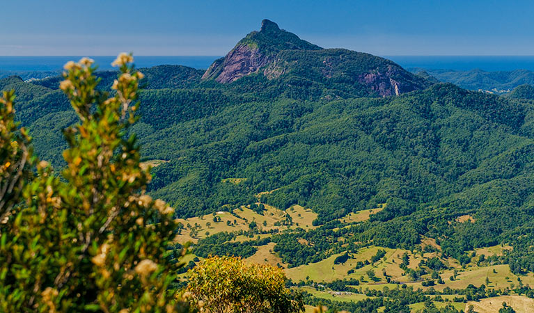
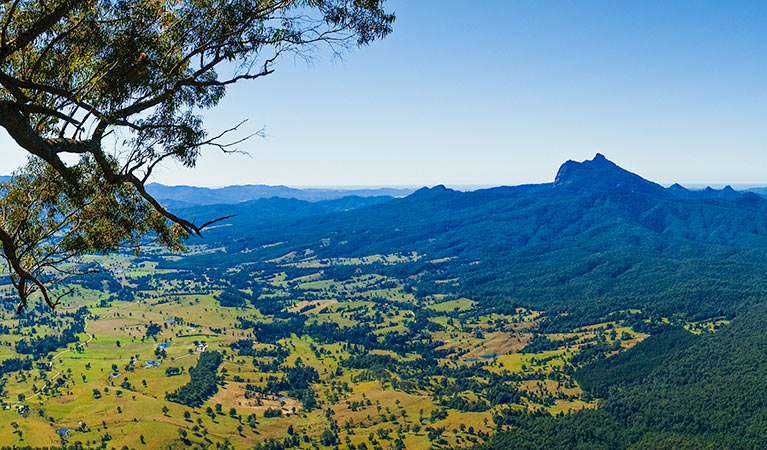
- Border Ranges National Park and Nightcap National Park provide some of the best photo opportunities of Wollumbin in all its glory.
Wollumbin (Mount Warning) Summit track is located 12km south-west of Murwillumbah, in Wollumbin National Park. The summit of Wollumbin is a sacred place to the Bundjalung People, and was declared an Aboriginal Place in 2014.
View the Environment and Heritage webpage for more information about Wollumbin National Park management.
Also see
-

Lyrebird track
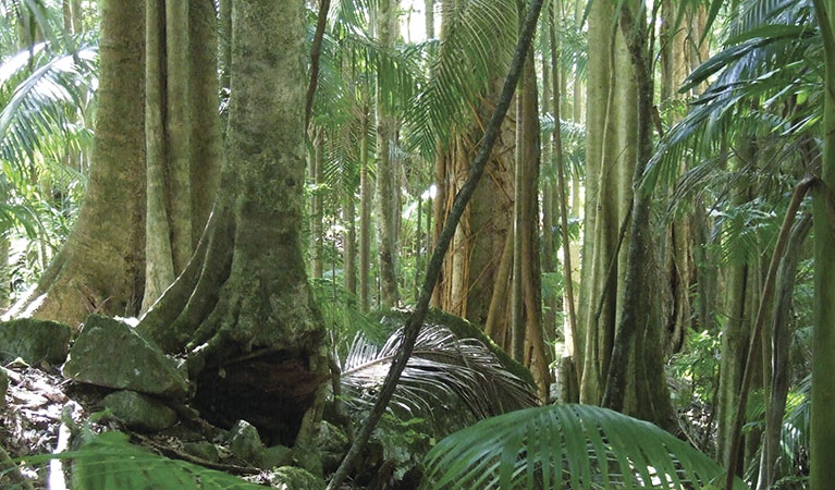
Lyrebird track is a short walk in Wollumbin National Park. It leads from Mount Warning Road across Breakfast Creek to a lookout surrounded by rainforest.
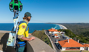
Google Street View Trekker
Using Google Street View Trekker, we've captured imagery across a range of NSW national parks and attractions. Get a bird's eye view of these incredible landscapes before setting off on your own adventure.
Park:
Nightcap National Park
Explore ancient World Heritage-listed rainforest in Nightcap National Park, near Lismore in north-eastern NSW. You’ll find picnic areas and stunning views from Minyon Falls lookout. Camp in nearby Rummery Park campground.
